120 Broad Law, Megget Reservoir, Scottish Borders, Scotland. Easy route to navigate with good paths
Hike Scotland
The walk is 22 km with 807 m of ascent and takes around 7 hours. Navigation is easy using clear roads, grassy paths and a fence line to follow, with no scrambling or exposure on the route.
Show 15 notes
- Route
The walk is 22 km with 807 m of ascent and takes around 7 hours. Navigation is easy using clear roads, grassy paths and a fence line to follow, with no scrambling or exposure on the route.
Watch at 0:20 - Safety
There are only three free parking spaces at the Megget Stone, the walk start. You can pay to park at several spots along the side of Megget Reservoir, and there are more free spaces at the eastern end of the reservoir. There are no hike restrictions.
Watch at 0:42 - Observation
The walk start at the Megget Stone is about one and a half hours' drive from Glasgow and one hour and 15 minutes from Edinburgh.
Watch at 0:57 - Route
The walk can be completed clockwise or anticlockwise. The toughest part is between Megget Stone and Ka Law, where the ground is very uneven and steep. Going clockwise gets this out of the way at the start with fresh legs. Going anticlockwise lets you cycle from the start to the far end of Megget Reservoir, and the road walk has less vehicle traffic in the morning.
Watch at 1:03 - Route
From the Megget Stone you follow a single track road heading east for about 6 km. At a distinctive 180 degree bend in the road you leave the road through a gate and head northwest up a clear, well-made gravel road, staying on it for another four and a half kilometres until you reach a wire fence. There are no junctions to worry about.
Watch at 1:31 - Route
Once you approach the wire fence you turn right and follow it to the north, stepping over a fence and continuing as it bends slightly right to reach the summit of Dollar Law, which has a trig point and a windbreak.
Watch at 1:53 - Route
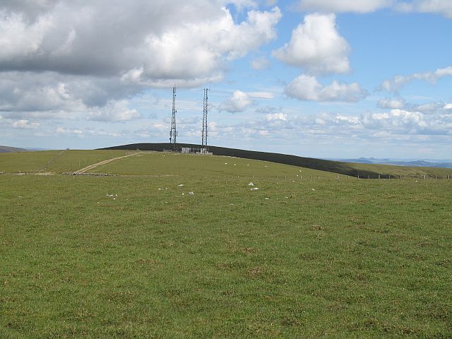
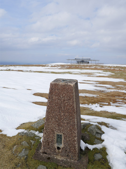
You retrace your steps south back to the top of the gravel road, which by this point has become a grassy track. Following the fence line southwest you ascend Cramalt Craig, where the path bends sharply right, cross a gate, then descend before climbing back up towards a large telecoms tower. From the tower you head directly towards it along a rough track, cross a fence and continue southwest along another fence line, passing a strange radial beacon station on your right before reaching the trig point at the summit of Broad Law.
Watch at 2:09 - Observation
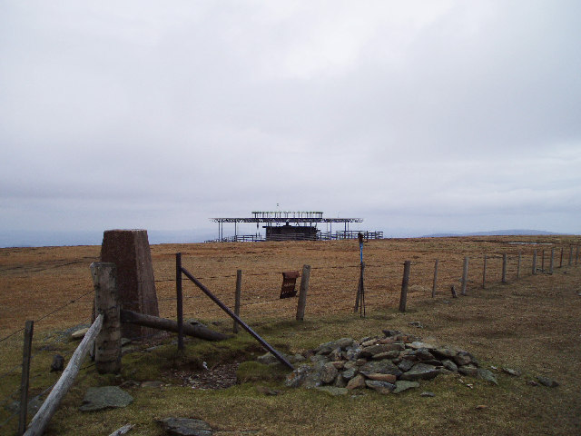
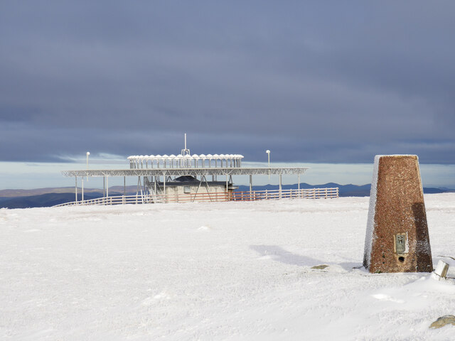
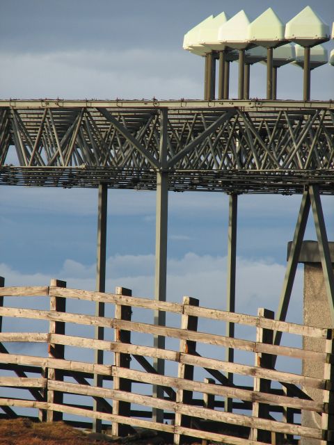
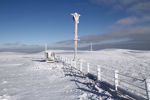
Just before the summit, on the right-hand side of the path, there is an unusual radial beacon station that looks like a radar array pointing towards the sky.
Watch at 2:50 - Route
From the start you can go directly up the right-hand side of the fence line and likely reach the summit within an hour. The walker instead follows a circular anticlockwise route.
Watch at 3:04 - Observation
Several spots along the route charge for camping overnight, with a campervan costing 15 pounds a night and a tent 10 pounds a night, paid online by scanning a code. A larger car park also allows camping, and a recommended two-pound donation is suggested if you just want to park for the day.
Camper van £15 a night. Tent £10 a night.
Watch at 5:07 - Safety
The stream on the left of the gravel road ends at the point where the road bends left above it. After this point there is little easy access to water according to the map, although there are a few places where you can come off the route briefly to get closer to the stream.
Watch at 9:36 - Route
From Dollar Law you head south following the fence line almost as far as Broad Law summit. The fence line leads back to the gravel track, and it is just over 10 km back to where the van was parked, which the OS map estimates at about three and a half hours of walking.
Watch at 12:23 - Observation
Along the return leg the path climbs Cramalt Craig, another Donald, before a right-angle turn to continue along to the telecoms mast. There is about 150 m of descent followed by a slightly longer climb on the other side to the next top.
Watch at 15:14 - Observation
Just ahead at the summit of Broad Law there is a cairn and a trig point.
Watch at 19:11 - Route
From the summit you head directly south for about three and a half kilometres back to the van, with a slight bend to the left as you get close. The last section of the walk down to the start is the roughest terrain of the whole route.
Watch at 19:59