Garth Hill: Getting High Above Cardiff | The Miners
The Walking Kev
The summit of Garth Mountain is 307 m, about 1,007 ft above sea level. Since the walk starts low near the River Taff, most of that height is gained on the way up; the video notes climbing through woodland early, with about 650 ft of ascent from the parking spot.
Show 9 notes
- Observation
The summit of Garth Mountain is 307 m, about 1,007 ft above sea level. Since the walk starts low near the River Taff, most of that height is gained on the way up; the video notes climbing through woodland early, with about 650 ft of ascent from the parking spot.
307 m doesn't sound a lot.
Watch at 0:47 - Observation
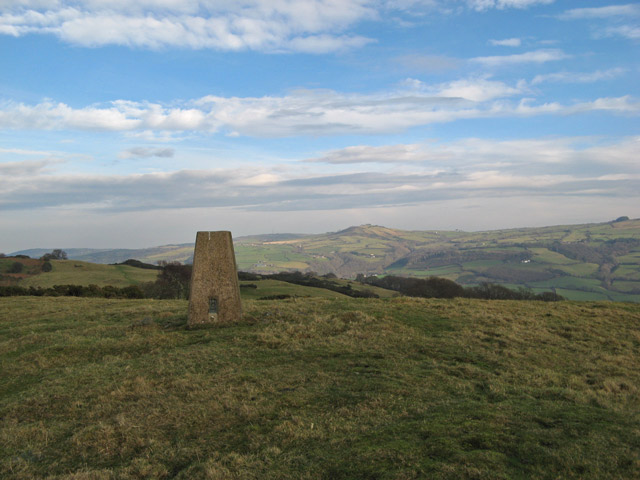
From below, the top is recognisable by a nipple-shaped cairn and a trig point. The summit is an ancient burial mound.
Watch at 1:15 - Route
One way up the hill approaches from the east along its side on minor footpaths. Over tree stumps and rocks the focus is on footing, until the route breaks out onto a grassy fern path where the views open up to the east.
Watch at 2:32 - Route
It is possible to walk to the hill from Cardiff itself, heading up the Taff Trail for a bit and then turning off uphill, without much trouble.
you can also walk from Cardiff without too much trouble heading up the Taff Trail
Watch at 4:56 - Observation
Crags at the hill's edge hold a few pleasant spots to camp. The walker planned a future overnight camp there.
a couple of really nice spots over here to camp as well
Watch at 5:15 - Observation
The top gives 360-degree views: the Beacons directly north, and the Bristol Channel, Cardiff and England away to the south. The video also praises sunrise and sunset views over Cardiff.
One of those hills where you can clearly see both 360° views.
Watch at 8:20 - Observation
The hill is described as littered with footpaths and places to park, is well walked from many directions, and can be reached on foot from Cardiff. On a quiet weekday evening it may be almost deserted.
It's littered with footpaths, littered with places to park around it.
Watch at 8:53 - Route
The descent ran as a circular route: heading south towards Cardiff, skirting the base of the hill, and returning through sheltered woodland to the River Taff. The completed walk was about 4 miles with roughly 1,000 ft of descent.
So 4 miles of walking, 1,000 ft of descent.
Watch at 9:04 - Observation
Compared with the higher Beacons, the walk offers more varied terrain: woodland, city views, fields, and pockets that feel wild and remote, with sheltered corners out of the wind.
Watch at 10:58