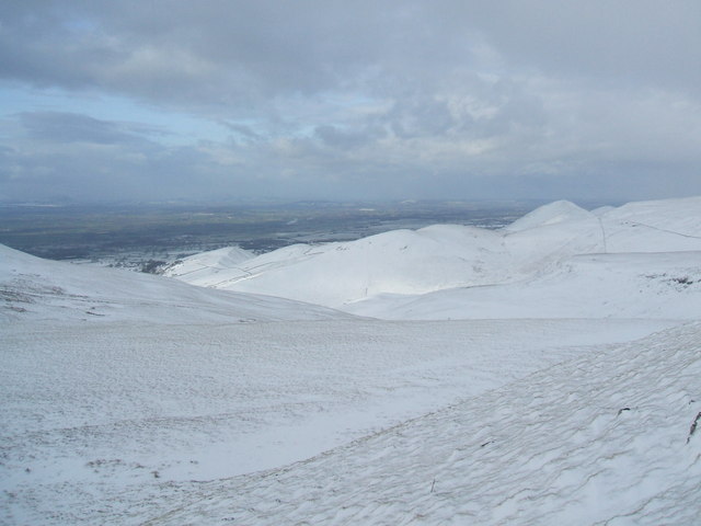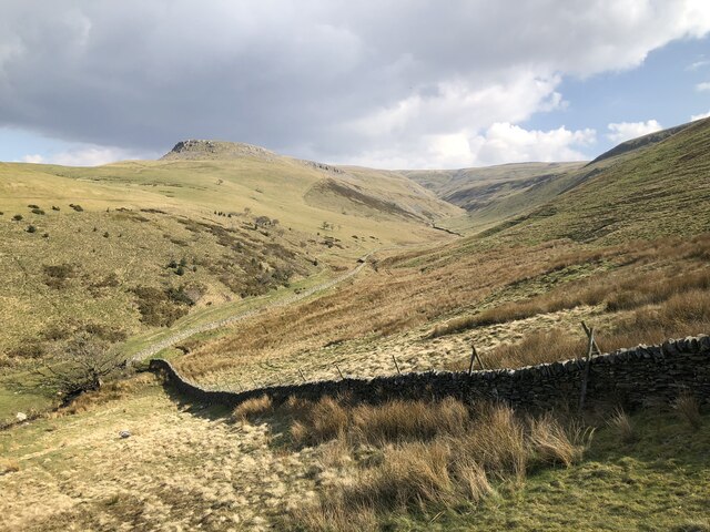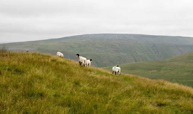
Murton Pike

Trig Point · TP4987

Murton Pike, the trig-topped summit of Murton Fell, stands at 675
metres above the village of Murton in Cumbria, on the central
watershed of England. It sits east of the deep cleft of High Cup
Nick, where the Pennine scarp drops away to the south-west, and the
fell is the high point of the quiet country between the Tees and
the Eden valleys.

The standard ascent climbs from the east, and the going is steady
from the foot of the hill. What looks like the top turns out not
to be, with two or three false summits before the trig appears on
the true one. The top is breezy more often than cold, and on a
clear day the views open across the Eden Valley towards Penrith,
with the North Pennine tops further east. Walkers treat it as a
beginner pike, which is fair, though the last push to the top is
the steepest section of the day, and the wind can be strong enough
to make conversation difficult. The walking area sits roughly half
an hour outside Penrith, and Kendal mint cake at the trig is a
long-standing tradition.

About Murton Pike

ReferenceTP4987
Grid referenceNY734231
Height in metres594 metres
Height in feet1950 feet
Latitude54.60239771
Longitude-2.411925309
CountryEngland
Pillar typePillar
ConditionGood
Historic use3rd order
Current usenone
Mountain Murton Pike
Trigpointing UKView record

Best time to visit Murton Pike

Best months to visit: May, Jul, Aug

These months tend to be warmer and drier than the rest of the year.

Hottest months: Jun, Jul, Aug

Coldest months: Jan, Feb, Mar

Rainiest months: Jan, Oct, Dec

JanFebMarAprMayJunJulAugSepOctNovDec
Day temperature2 °C4 °C6 °C8 °C12 °C14 °C16 °C15 °C13 °C9 °C6 °C4 °C
Night temperature-2 °C0 °C0 °C1 °C5 °C8 °C9 °C9 °C7 °C5 °C2 °C0 °C
Rain159 mm145 mm123 mm101 mm96 mm120 mm117 mm118 mm132 mm188 mm152 mm181 mm

Based on Murton Pike, 0.0 km away. Historical seasonal averages. Weather data by Open-Meteo.

Walk videos

Route notes, timings, and viewpoints from walking videos.

Summiting My First Ever Pike

Rambling Rockstar

8 notesfrom YouTube

The way up gets very steep again not long before the top, and the views back are limited by the low cloud.

Show 8 notes
  • Route

    The way up gets very steep again not long before the top, and the views back are limited by the low cloud.

    it's gonna get pretty steep again
    Watch at 1:05
  • Observation

    The temperature at the foot of the climb is roughly seven or eight degrees, yet the walker is soaked with sweat part way up and admits to being out of shape.

    Watch at 1:12
  • Observation

    The top is breezy and damp, not particularly cold, so the group heads straight into the descent.

    Watch at 1:53
  • Route

    What looked like the top turns out not to be; roughly two or three more false summits come before the true summit.

    turns out we weren't anywhere near the top... two possibly three more false summits
    Watch at 2:23
  • Observation

    The trig point is visible on the summit. The group stops there for a break, and one of the walkers has her first experience of Kendal mint cake to take on some energy.

    you can see the trick point behind me
    Watch at 2:33
  • Observation

    The wind on top is strong enough that it is hard to hear, described as blowing a hooley, with only brief breaks in the cloud coming down.

    Watch at 2:52
  • Observation

    Lower down, the walk takes in views of the Fells and the rest of the Eden Valley. The walking area sits roughly 20 minutes to half an hour outside Penrith.

    Watch at 4:12
  • Observation

    Asked what she thought of the walk afterwards, one of the group says it was hard toward the end.

    it's hard at the end
    Watch at 4:45

Gallery

Map