
Staddon Fort
Trig Point · TP6140
About Staddon Fort
| Reference | TP6140 |
|---|---|
| Grid reference | SX496518 |
| Height in metres | 125 metres |
| Height in feet | 410 feet |
| Latitude | 50.34712235 |
| Longitude | -4.114148111 |
| Country | England |
| Pillar type | Pillar |
| Condition | Good |
| Historic use | Secondary |
| Current use | none |
| Trigpointing UK | View record |
Best time to visit Staddon Fort
Best months to visit: May, Jun, Jul
These months tend to be warmer and drier than the rest of the year.
Hottest months: Jun, Jul, Aug
Coldest months: Jan, Feb, Mar
Rainiest months: Jan, Oct, Dec
| Jan | Feb | Mar | Apr | May | Jun | Jul | Aug | Sep | Oct | Nov | Dec | |
|---|---|---|---|---|---|---|---|---|---|---|---|---|
| Day temperature | 9 °C | 11 °C | 12 °C | 13 °C | 17 °C | 19 °C | 20 °C | 20 °C | 18 °C | 16 °C | 12 °C | 10 °C |
| Night temperature | 4 °C | 6 °C | 6 °C | 7 °C | 10 °C | 13 °C | 14 °C | 14 °C | 13 °C | 11 °C | 8 °C | 7 °C |
| Rain | 147 mm | 125 mm | 110 mm | 80 mm | 63 mm | 70 mm | 72 mm | 73 mm | 116 mm | 170 mm | 134 mm | 146 mm |
Based on Insworke Hill, 6.6 km away. Historical seasonal averages. Weather data by Open-Meteo.
Gallery
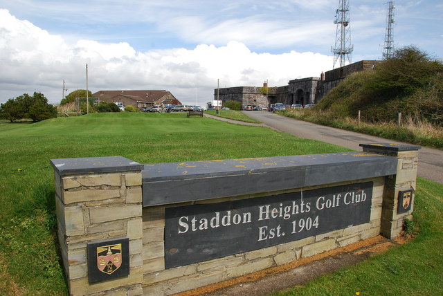


Photo: jeff collins.
Licensed CC BY-SA 2.0.
Source: Wikimedia.
Photo: jeff collins.
Licensed CC BY-SA 2.0.
Source: Wikimedia.
Photo: jeff collins.
Licensed CC BY-SA 2.0.
Source: Wikimedia.
Photo: Rod Allday.
Licensed CC BY-SA 2.0.
Source: Wikimedia.
Photo: jeff collins .
Licensed CC BY-SA 2.0.
Source: Wikimedia.